Greenville has a mix of homes, businesses, industrial sites, transit connections, and redevelopment areas. A property review should begin with the documents that apply to the exact parcel, not a broad neighborhood claim.
This article explains a simple way to review public zoning and redevelopment information. It is general property information only. It is not tax, legal, financial, zoning, or real estate advice.
In This Guide
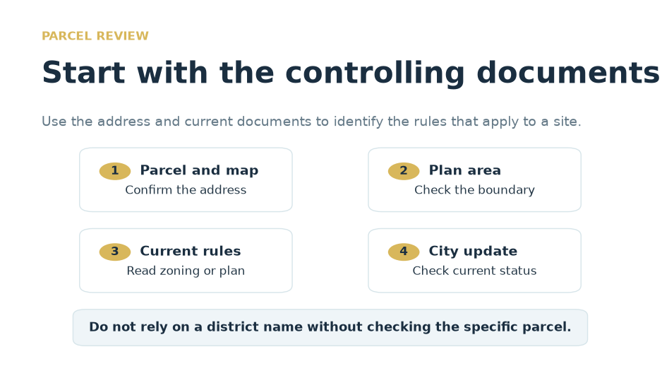
Three checks before you rely on a redevelopment claim
Check the parcel
Confirm the address, map, and plan area that apply to the site.
Check the rules
Read the current zoning text or redevelopment plan.
Check the status
Use current City information for active work and public updates.
Why the exact parcel matters
Two nearby properties can be governed by different rules. A site may be covered by the base zoning code, a redevelopment plan, an overlay, or other site-specific conditions. The parcel location and current map are the starting point.
The Greenville Industrial Redevelopment Plan is a City source for reviewing the area it covers. Read the plan, maps, and related City material to confirm whether it applies to a specific site. [1]
Do not rely on a district name alone. Confirm the property address, plan boundary, and current rules before treating a use, height, parking, or design standard as settled.
Start with the parcel and work from the controlling documents to the current public update. [1][2]
How zoning and redevelopment plans work together
Zoning sets rules for land use and building form. It can address uses, building size, parking, setbacks, and other site standards. Jersey City’s Division of Zoning provides current zoning information and related guidance. [2]
A redevelopment plan can apply to a defined area and may set the rules for that area. When a plan applies, read it closely with the current zoning material and City guidance for the particular site.
Plans and rules can change. A public document can explain the framework, but it does not replace a written confirmation for a specific parcel or project.
How to read an infrastructure update
Infrastructure can include streets, sidewalks, transit access, utilities, drainage, parks, and public facilities. An announcement alone does not show what will happen at a specific property or when it will happen.
Look for the current project scope, public status, location, and schedule. Separate completed work from planning ideas. For a site-specific question, check the City source and the relevant department.
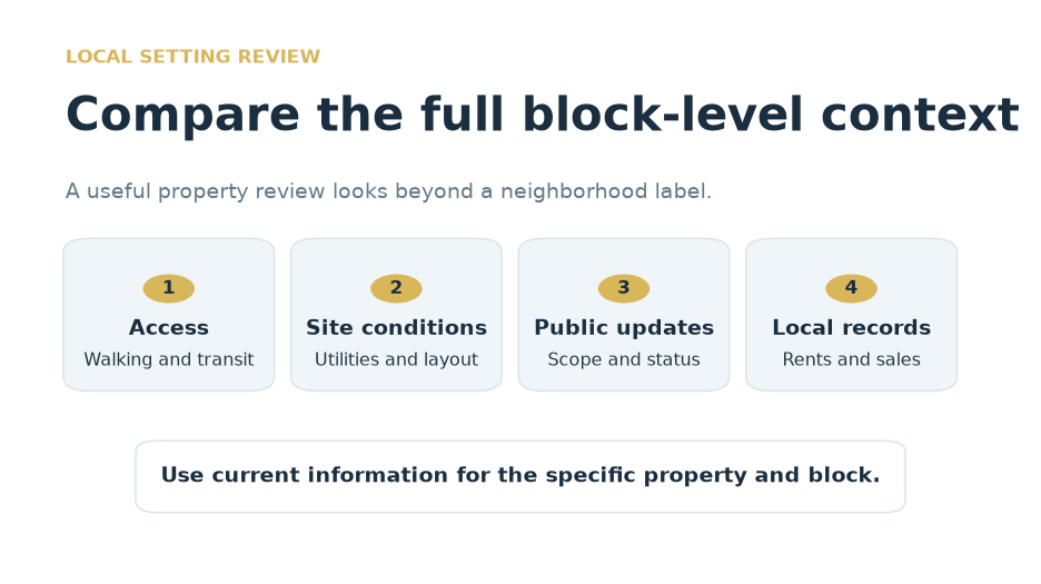
Then consider the daily experience around the property. Walking routes, crossings, traffic, lighting, transit access, and nearby services can make a difference from one block to the next.
Review public documents, daily access, site conditions, and local records together.
What to keep in the property file
Keep the current zoning map, zoning text, redevelopment plan, public notices, and any written City guidance that relates to the property. Save the source and date for each document.
Keep site information too. A survey, title report, environmental records, utility information, and prior approvals may each affect the way a property is reviewed.
Use current local property records for any market comparison. Broader commercial reports can provide regional context, but they do not replace records for a particular building or block. [3]
Common mistakes to avoid
Do not assume a redevelopment plan applies to every property in Greenville. Check the current plan boundary and parcel location.
Do not use an old news story as proof of an active public project. Review the latest City document for the current scope and status.
Do not treat a broad neighborhood narrative as proof about one property. Use the parcel, the controlling rules, and current local records for the specific question.
Sources
Sources for further verification
Use current official and institutional sources when reviewing a specific property or project.
Start with the current parcel map and confirm whether a redevelopment plan applies. Then review the current zoning material and City guidance. [1][2]
No. A plan applies to the area defined by its maps and documents. Confirm the current boundary and the property location before relying on it. [1]
Check the current scope, location, public status, and schedule. Use the City source for the latest information and separate completed work from a planning idea.
No. A regional report can provide context, but local records are more useful for a specific property or block. [3]
Considering a Sale?
Talk to X1031 Exchange Before Your Closing
Contact X1031 Exchange to learn about the company’s services. For tax, legal, financial, zoning, or real estate advice, work with your own qualified professionals.